Miljana (Croatia),1746

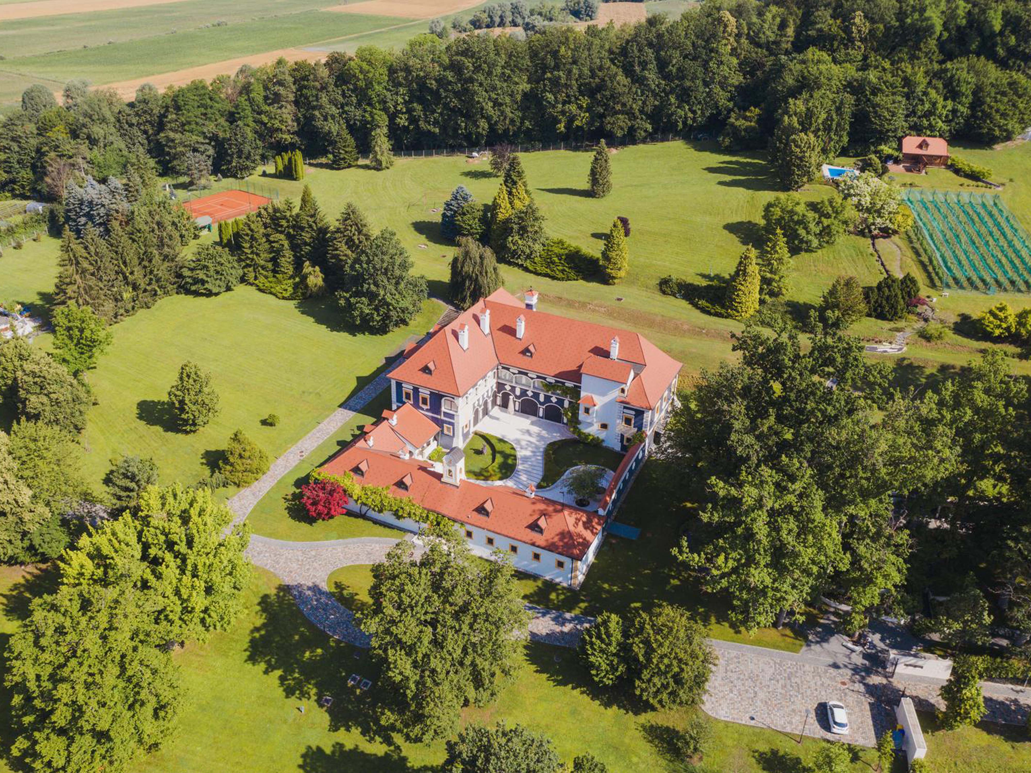
Dvorac Miljana, constructor is unknown

46° 07′ 45″ N, 15° 36′ 54″ E

Fig. 1. Miljana Castle was built in several phases starting from the end of the 16th and the beginning of the 17th century (https://www.zagorje-priroda.hr/park-oko-dvorca-miljana/).
Fig. 2. The ground plan of the castle, the arrows show the places of the wall sundials (https://geoportal.dgu.hr/)
Fig. 3. The western wing of the Miljana castle with a sundial (photo: Berislav Horvatić, 2022)
Fig. 4. Sundial constructed on the wall located in the plane of the meridian (A = 0°). It is designed for latitude 46° 30′ N. Hours of apparent solar time are read towards the end of the shadow of the horizontal shadow pointer (orthognomon) (photo: Berislav Horvatić, 2022).
Fig. 5. East end of the north wing of the castle with the sundial (photo: Berislav Horvatić, 2022)
Fig. 6. The sundial is constructed on a wall located in the plane of the first vertical of the celestial sphere (A = 90°). It is designed for latitude 46° 30” N. There is now a horizontal shadow pointer on the sundial. The hour scale, however, was constructed for a shadow pointer (polos) that was parallel to the Earth’s axis of rotation. The original polos was probably misaligned during one of the restorations of the castle. It needs to be slanted so that it overlaps the sundial plane at an angle that is complementary to the latitude (photo: Berislav Horvatić, 2022).

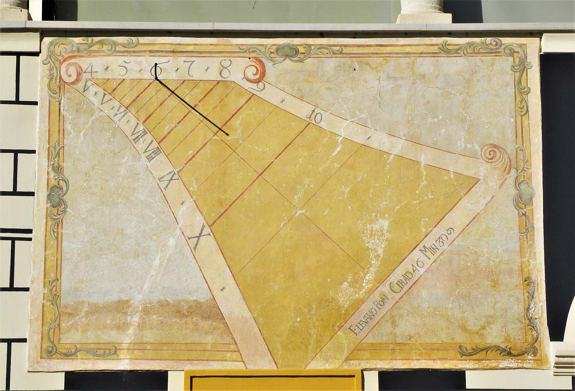
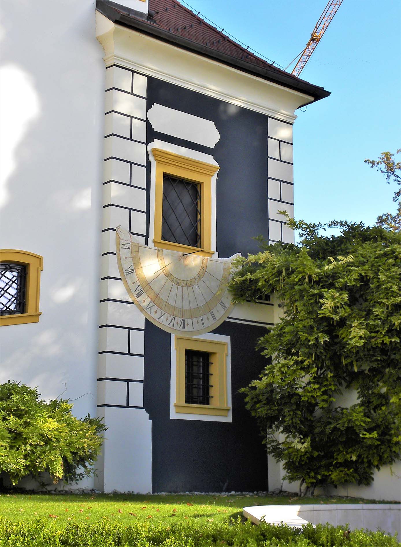
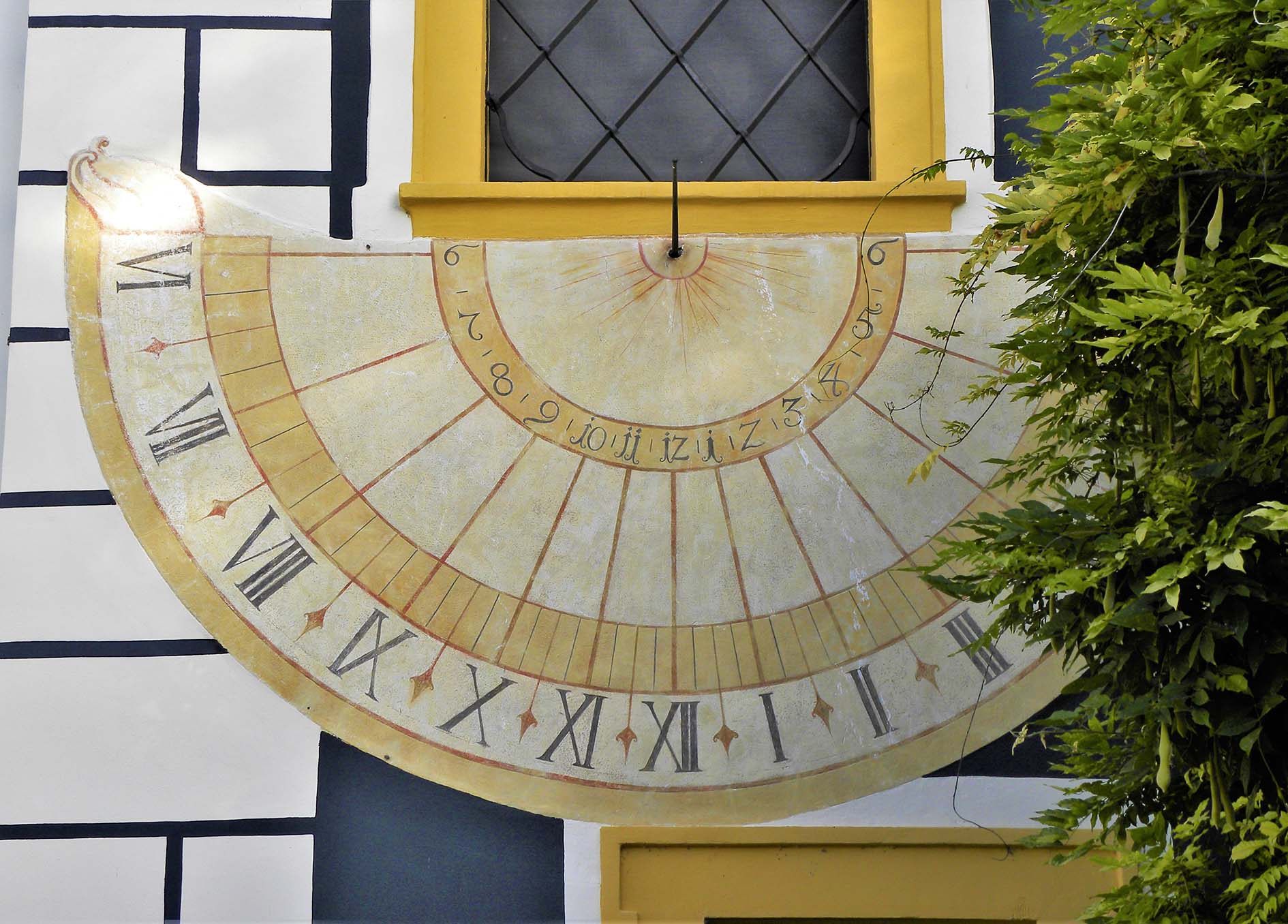
Both sundials were most likely created in 1746 when the exterior facades of the castle were painted. Constructor is unknown .
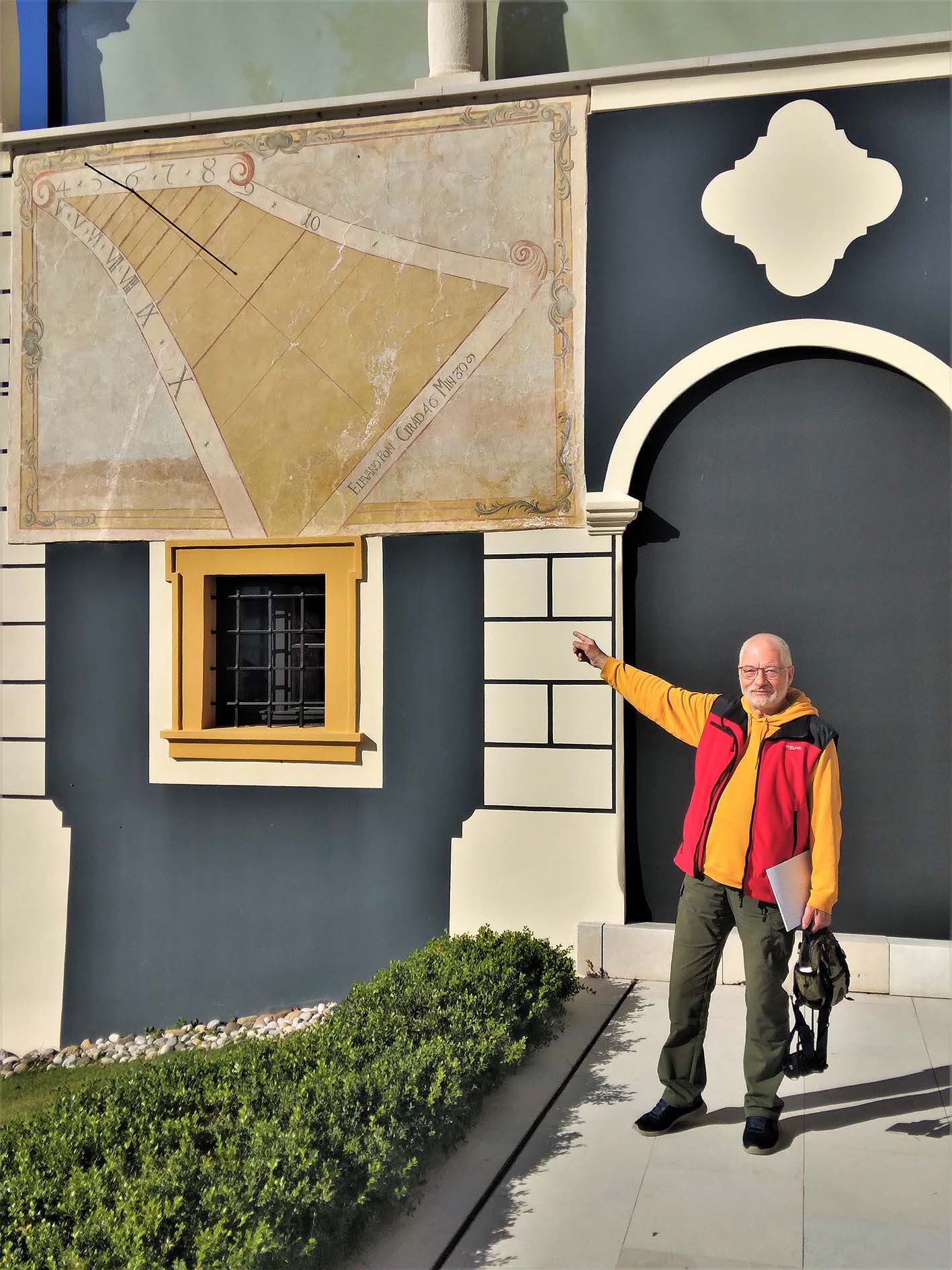
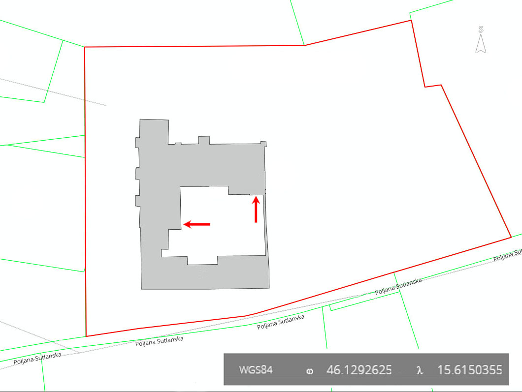